22 September 2026,
Tuesday

22 September 2026,
Tuesday
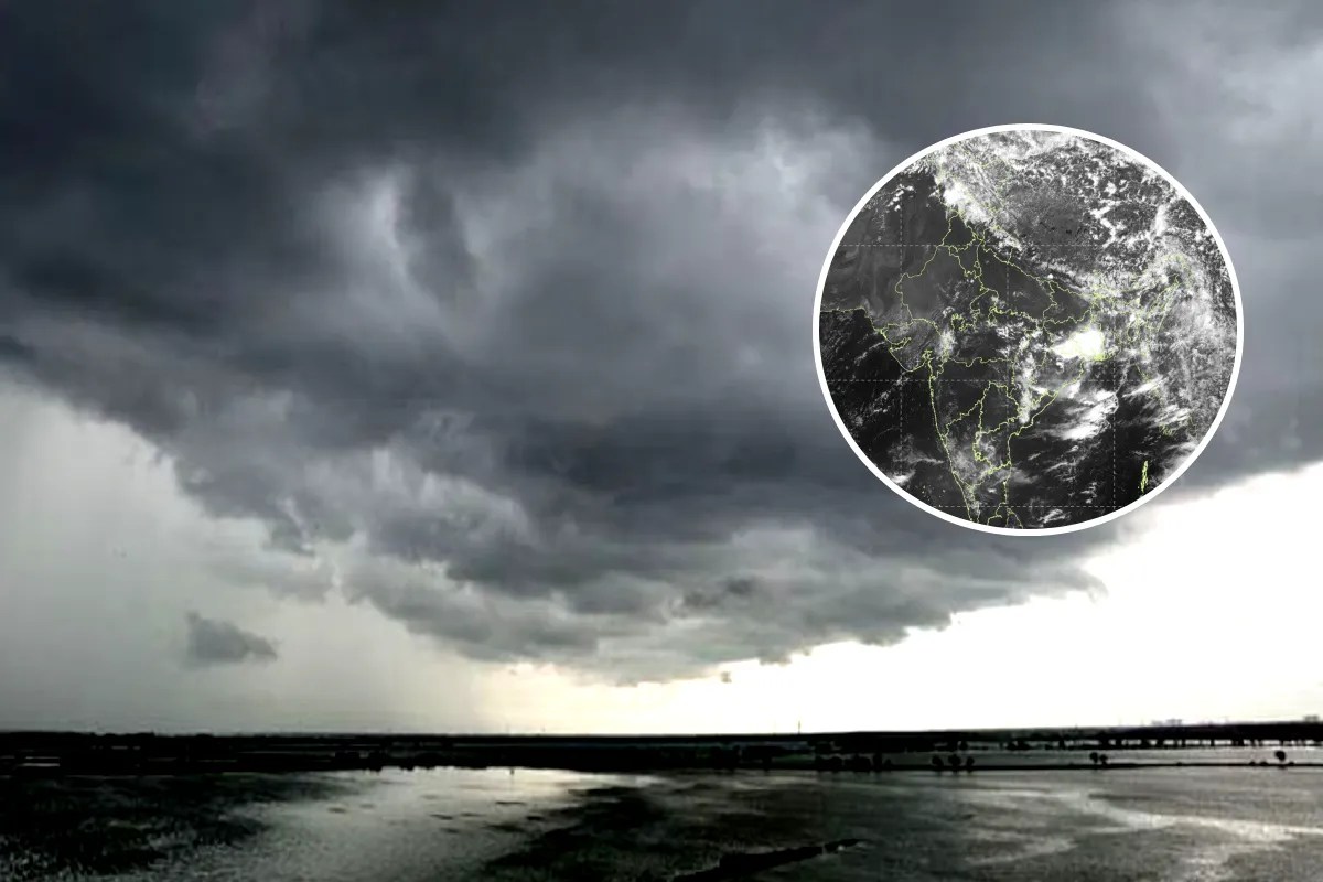
MP Weather (Weather to deteriorate again from 6 August, Photo Source: Patrika)
Madhya Pradesh has once again seen a break in monsoon rainfall, causing concern among farmers and the general public across the state. However, weather conditions are set to change soon. Amid a shortfall of rain in several parts of the state, the meteorological department has forecast some relief, with a fresh western disturbance expected to become active over the state from 6 August, affecting several districts and likely triggering a new spell of heavy rainfall.
At present, Madhya Pradesh has recorded 16 per cent less rainfall than normal this monsoon season, raising concerns over water shortages and agricultural output in many regions.
Western disturbance to become active on 6 August
According to the weather department, a new weather system is set to become active over the state from Thursday, 6 August. The onset of the western disturbance is expected to increase moisture levels in the atmosphere, bringing good rainfall to several districts and heavy rainfall to others. Some locations could also see extremely heavy rain as a result. According to the weather department, this system could help partially make up for the state's rainfall deficit.
16 per cent shortfall so far
Madhya Pradesh has recorded 16 per cent less rainfall than normal so far this monsoon season. The state has recorded an average of 15.9 inches of rainfall, against a shortfall of around 3.1 inches compared to normal figures. Weak rainfall activity in the final days of July widened this gap further.
Eastern MP worst affected
The eastern part of the state is currently facing the biggest rainfall deficit. The Jabalpur, Shahdol, Rewa and Sagar divisions have recorded around 20 per cent less rainfall than normal, with the situation even more severe in several districts.
Districts facing rainfall shortage
Anuppur, Balaghat, Chhatarpur, Chhindwara, Damoh, Dindori, Jabalpur, Katni, Maihar, Mandla, Mauganj, Narsinghpur, Niwari, Pandhurna, Panna, Rewa, Sagar, Satna, Seoni, Shahdol, Sidhi, Singrauli, Tikamgarh and Umaria have recorded rainfall deficits ranging from 1 per cent to as much as 42 per cent below normal.
Western MP also below average
Rainfall performance has also been weaker than normal in western Madhya Pradesh. The Bhopal, Indore, Ujjain, Narmadapuram and Gwalior-Chambal divisions have recorded an average of 11 per cent less rainfall than normal. Agar-Malwa, Alirajpur, Ashoknagar, Betul, Bhopal, Datia, Dhar, Guna, Gwalior, Harda, Jhabua, Morena, Mandsaur, Narmadapuram, Neemuch, Raisen, Rajgarh, Ratlam, Shajapur, Sheopur, Shivpuri, Ujjain and Vidisha districts have also recorded below-normal rainfall.
Farmers await rain
The rainfall shortage is affecting both agriculture and water storage across the state. Farmers in many districts are waiting for good rain to help their crops grow better, while reservoirs and dams are also not receiving adequate water. Against this backdrop, the possible spell of rain starting from 6 August is being seen as significant for the state.
Coming days crucial
The weather department is closely monitoring the upcoming system. If the western disturbance becomes active as expected, several districts across the state could see good rainfall, which would not only help ease the shortfall but also bring relief to agriculture and drinking water supply. Weather experts are currently advising people to keep an eye on updates from the meteorological department.