12 March 2026,
Thursday
12 March 2026,
Thursday
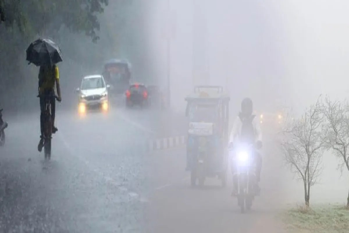
Rain alert in Madhya Pradesh (Photo: Patrika.com)
Rain Alert: Bhopal has started showing its spring colours. The intensity of the cold is now easing, and the nights are becoming a bit warmer. On Friday, the minimum temperature in the capital was recorded at 17.4 degrees Celsius, which is 6.2 degrees higher than on Thursday. Earlier, the minimum temperature on Thursday was 11.2 degrees. Meanwhile, the maximum day temperature reached 27.4 degrees, causing a slight warmth to be felt during the day.
From Friday morning, the capital experienced an autumnal weather feel. The sky remained clear, and winds blew throughout the day, but they did not have the usual coolness. The wind speed in the state was recorded at approximately 14 kilometres per hour. According to meteorologist Whaid Khan, the wind direction has changed from north to south-west. This change is the reason for the sudden jump in night temperatures.
This weather pattern will not last. According to the Meteorological Department, another Western Disturbance is becoming active from January 26. Due to its effect, there is a possibility of light rain in the capital and most districts of the state on January 27 and 28.
Meteorologists say that the wind pattern may change once again from Saturday. Due to this, night temperatures could drop rapidly, and the cold might make a slight comeback. For now, the residents of the capital are enjoying the warmth of spring, where the cold seems to be almost disappearing.
R.S. Parihar stated that the Western Disturbance's path has currently started from Delhi and reached Gwalior, and it will soon move towards Bundelkhand. This is why rain is expected. Additionally, with the entry of the Western Disturbance in the Chhatarpur district, there are also chances of drizzle. For now, clouds are expected to persist for two days. After this, the Meteorological Centre has indicated a drop in temperatures.
There are chances of Mawth (winter rain) in the Sheopur district. Farmers say that if Mawth arrives, it will act as nectar for the Rabi crops. However, if accompanied by hailstorms, there is a possibility of crop damage. Some areas of Rajasthan experienced hailstorms on Friday morning, which has also increased the concerns of farmers. Farmers say that rain provides natural irrigation to crops like wheat, mustard, gram, and barley, which leads to better crop growth, increased yield, and also saves irrigation costs. Therefore, seeing this weather, the faces of the farmers are lit up. But the possibilities of hailstorms have also increased their worries.
Big News
View AllBhopal
Madhya Pradesh
Trending